from the archives (2019)
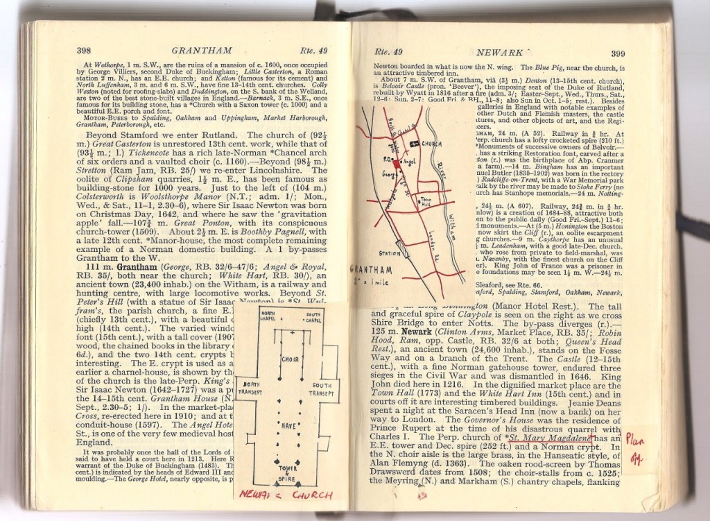
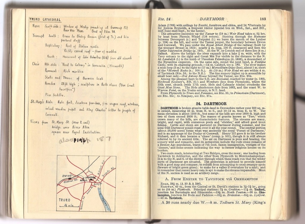
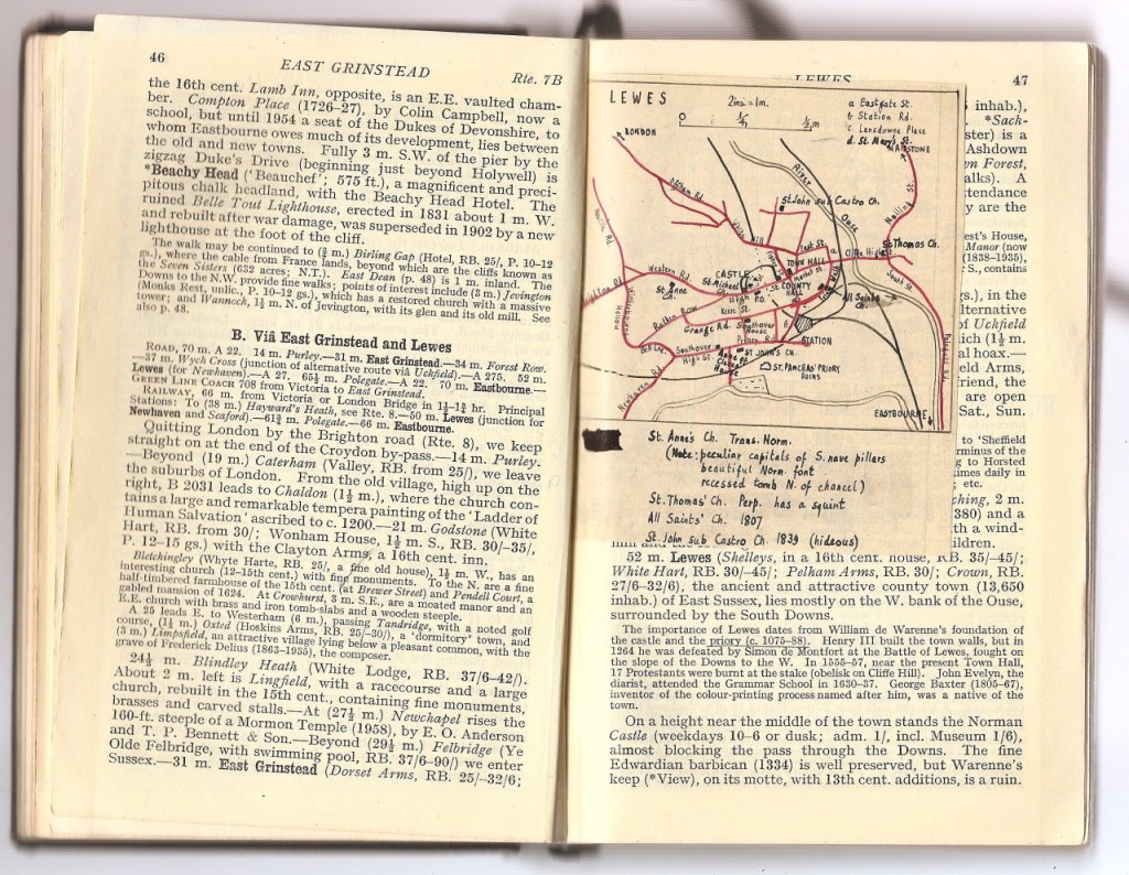
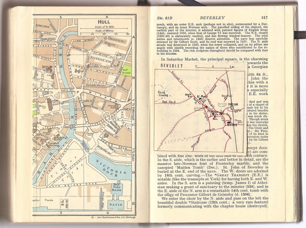
A few years ago I picked up this 1965 Blue Guide to England in a charity shop. It was only when I got home that I realised it was full of these beautiful, hand-drawn maps.
Looking through the pages, reading their notes and looking at their maps of post-war Britain makes me curious as to who owned this book and what they’d gone looking for in Kendal and Keighley. They always mark the Roman Catholic church and bus station on the printed maps and on several of them they’ve scribbled-out the railway stations closed by Beeching. The name in the front is P. M. Wraper, quite unusual so, perhaps there is a chance at finding out more?